Drone-Based Thermal Mapping of the Black Warrior River
Published:
Summer Visiting Scholar Fellowship, USGS FLOW (Future Leaders in Observation of Water) Academy — Jun 2026 – Jul 31, 2026
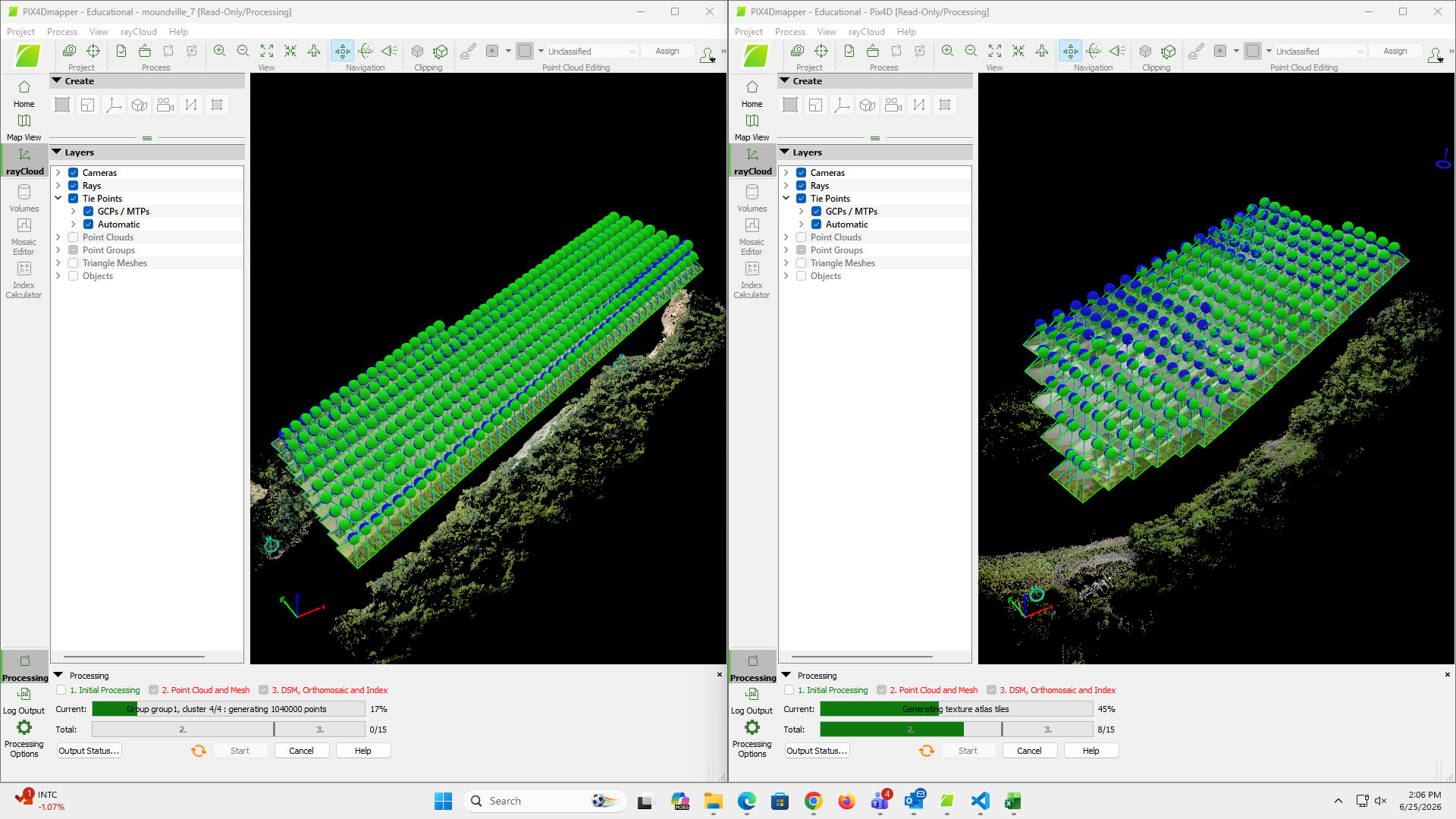
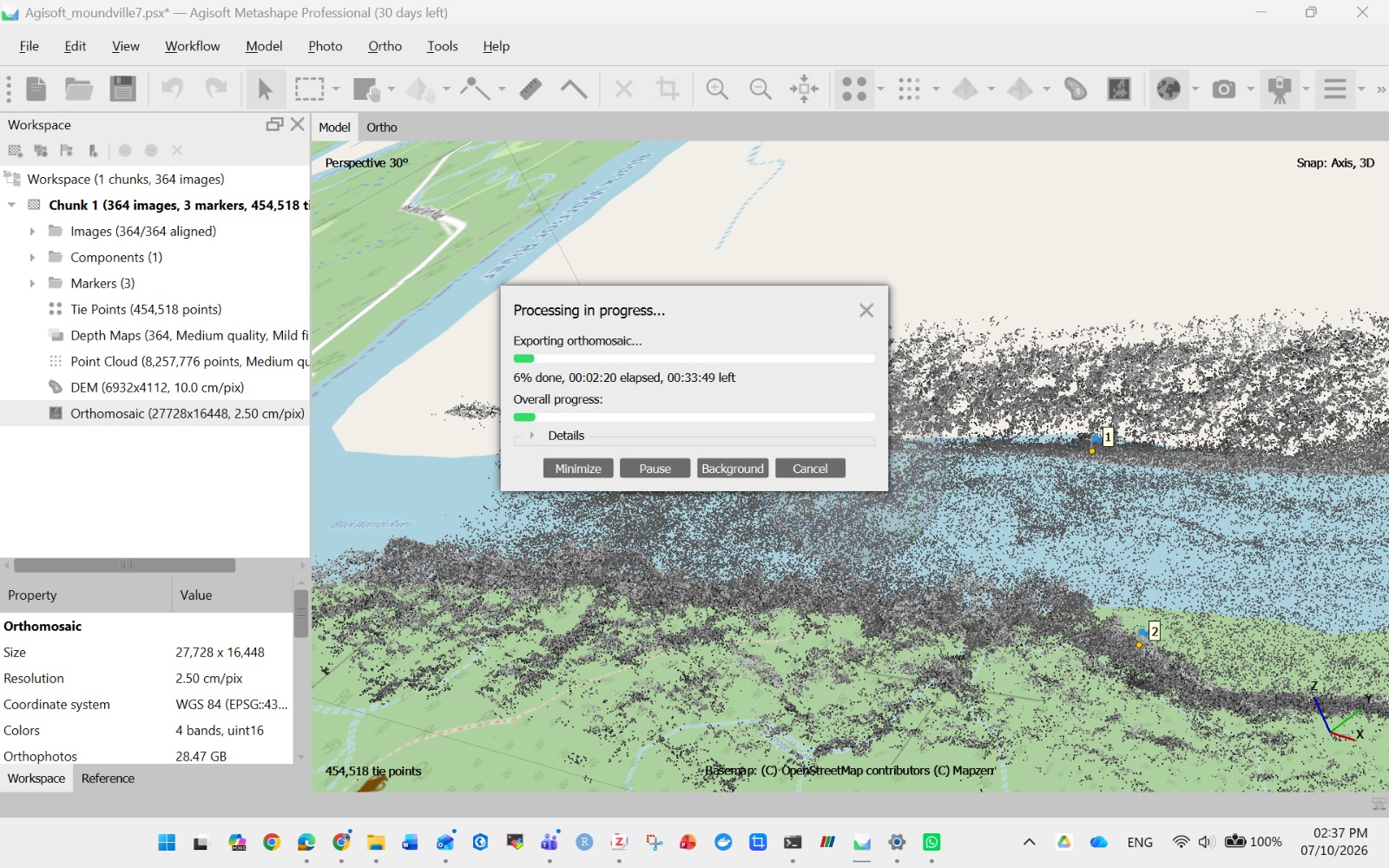
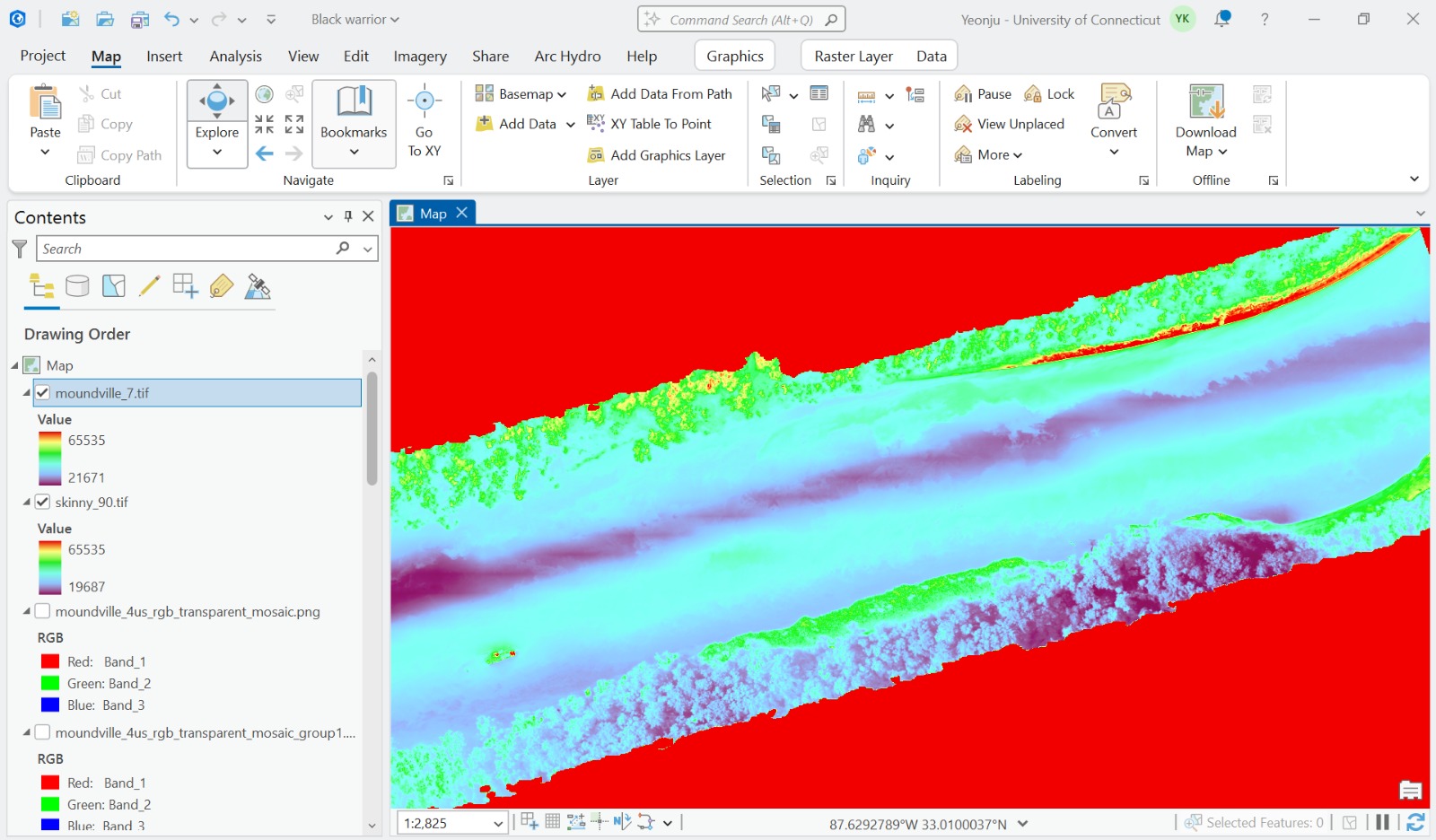
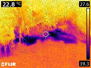
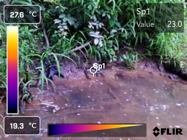
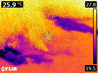
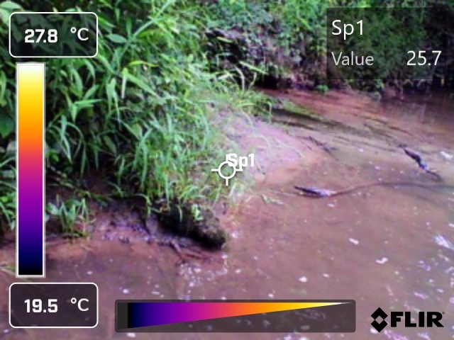
Conducted drone-based thermal mapping of a 1,600-meter reach of the Black Warrior River, collecting aerial thermal imagery to analyze spatial water temperature distributions across the watershed. Processed and orthorectified UAV imagery using Pix4D and Agisoft Metashape to generate high-resolution RGB and thermal orthomosaics. Completed hands-on workshops in microcontroller programming, edge computing, camera calibration, and AI-based water sensing (object detection and segmentation). Collaborated with USGS scientists and industry partners to translate water sensing research into operational tools, presenting findings at bi-weekly report-outs and the FLOW Tech Showcase.
GitHub: iamkimyeonju/black-warrior-river-thermal-mapping
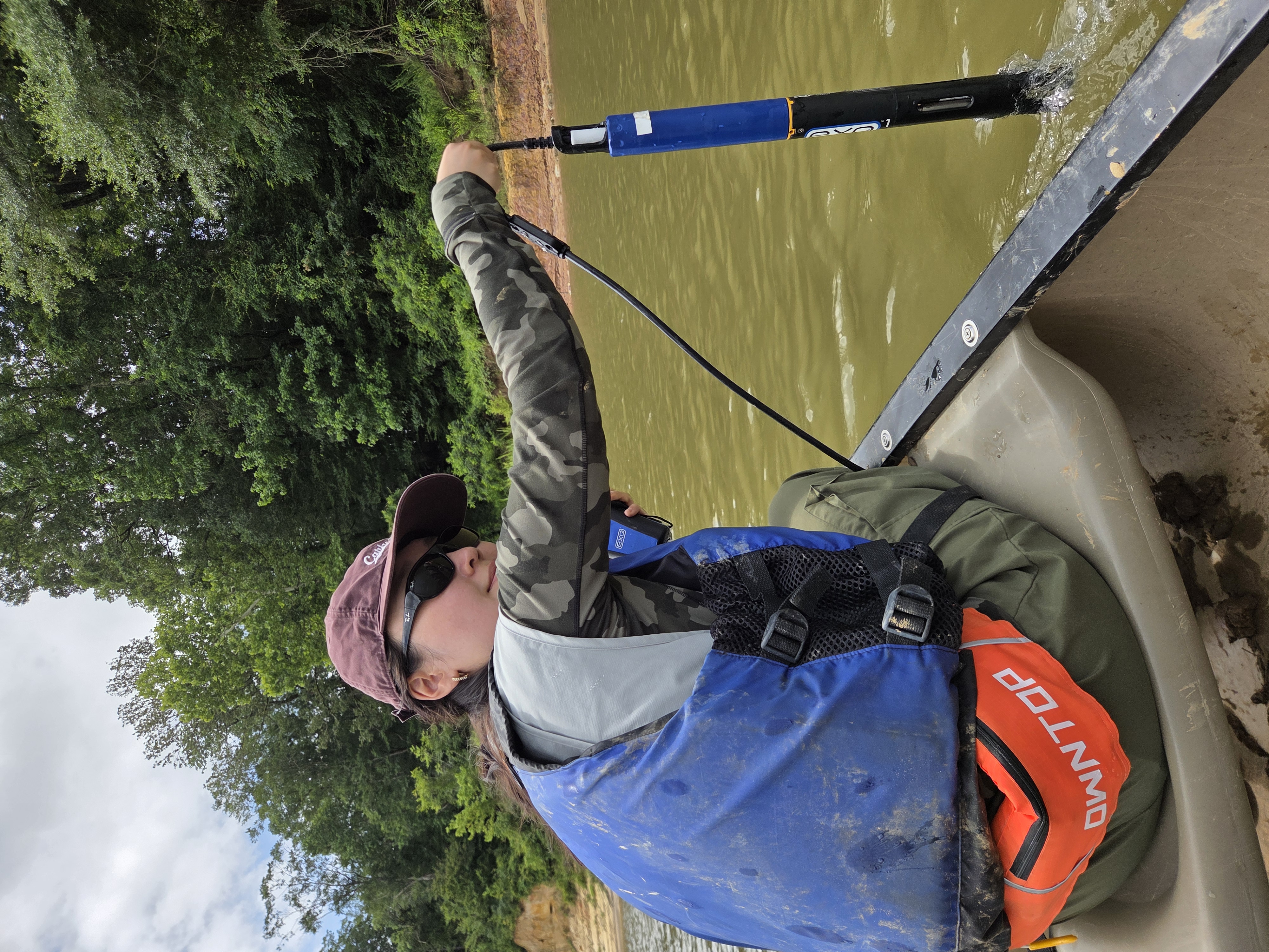
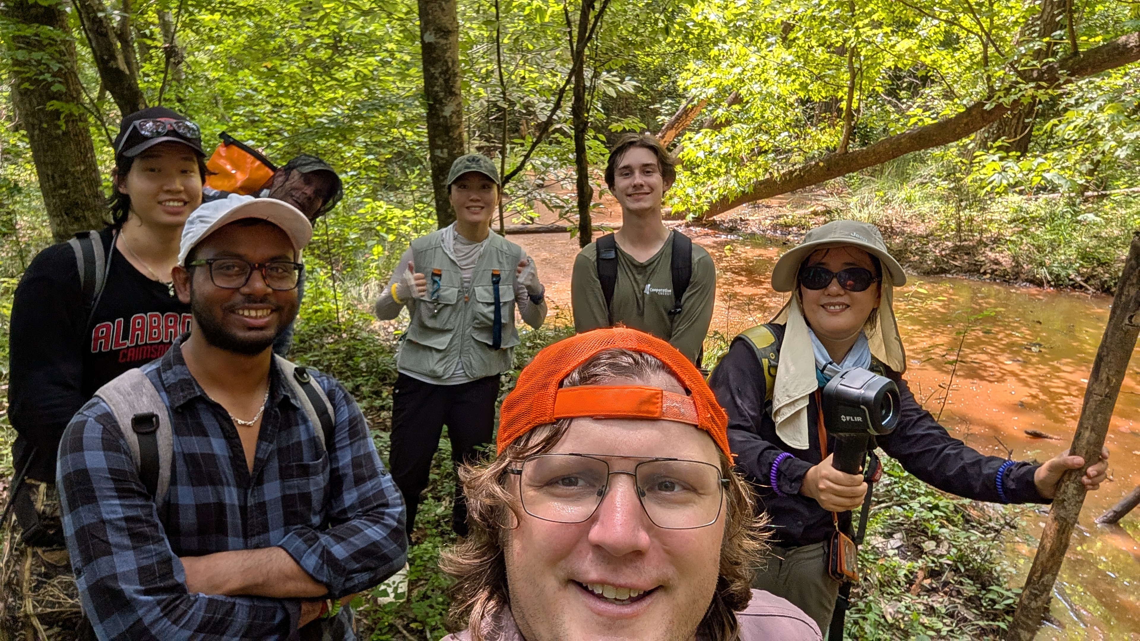
Field & Drone Work
Thermal & RGB Imagery
Processing Software